ROUTE 66 Maps + Navigation: How to Follow Me Transformed My Road Trip
Most of us have been there: Trying to follow a friend’s car in busy traffic only to get lost thanks to a red light or a distraction. Well, that happened to me recently when I met up with my friend, John, after not seeing him for a long time. We were supposed to grab lunch together, but things didn’t exactly go as planned.
Lucky for me, I had the new ROUTE 66 Maps + Navigation app. Thanks to its “Follow Me” feature, I not only found my way but—spoiler alert—I even beat John to our lunch spot.
The “Follow Me” Feature: What Is It?
ROUTE 66 Maps + Navigation launched a new augmented reality (AR) feature called “Follow Me.” With the help of this app, you can stay on course even if you have trouble following directions or are easily distracted, like me. Instead of endlessly looking at your phone or trying to guess your next turn, you just follow a 3D car projected onto the road view through your phone. It’s like having a personal guide car, leading you along your route.
Getting Lost But Finding My Way
I was sidetracked by something shortly after my friend took off (no surprises there). So, naturally, I lost sight of John’s car in seconds. But instead of scrambling to remember every turn or pulling over to figure out where I was, I just opened the ROUTE 66 app and turned on the Follow Me mode.
Immediately, a virtual car appeared on my phone screen. It was like driving in a video game, except I didn’t have to second-guess any road signs or squint at tiny blue dots on a map. Stress-free navigation.
Faster Than a Friend with No AR
Surprisingly, I got to the restaurant before John did. The augmented reality seemed to make navigating a lot smoother and even faster. It wasn’t constantly recalibrating or lagging like some other navigation apps tend to do when you miss a turn or make an unexpected stop. The real-time AR element might have cut down on those extra seconds I would’ve lost if I’d relied solely on a traditional map.
Why This Feature Stands Out
- No More Wrong Turns: The app doesn’t just tell you where to go, it shows you. The 3D car leads directly, removing half the confusion that can come from reading tiny maps or listening to endless robotic voice commands.
- Augmented Reality: This isn’t just for gaming anymore. AR makes driving safer and simpler, keeping your eyes focused on the road, and not constantly checking down at direction arrows.
- Beat the Traffic: Because the app adjusts in real-time, it reroutes seamlessly if there’s heavy traffic or if you miss a turn.
Would I Use It Again?
Without a doubt. Whether you’re navigating a new city, trying to find your friends in a crowded area, or just prone to distractions (like me), the Follow Me feature is a huge help. I didn’t think I’d be such a fan of driving by AR, but I’m sold. Plus, it’s faster and more intuitive than most standard GPS systems.
Final Thoughts
Route 66’s new navigation is more than just a step forward—it’s changing the way we drive. While traditional GPS will always be useful, augmented reality simplifies everything. Try using the Follow Me feature on the road rather than your screen. You may avoid far more errors and arrive sooner than the person you are attempting to follow!
Read and Enjoy: How To Delete a Snapchat Account
FAQs
What Does a Geo Tracker Do?
A Geo Tracker is a versatile tool used for location tracking and navigation, users monitor real-time movements and create efficient travel routes. A Geo Tracker guarantees that you stay on course and easily arrive at your destination, whether hiking, road-tripping, or exploring new areas. This technology is for people who want to travel on historic roads like Route 66. But how exactly does it work, and what are the best tools available for such tasks? Let’s explore.
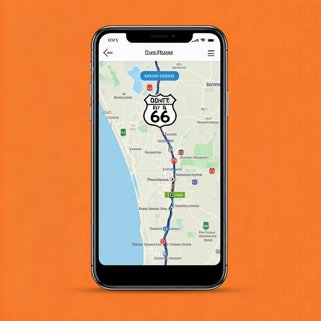
How to Download Route 66 Maps for Navigation?
Downloading Route 66 maps has never been easier. Users can map their journey along the well-known historic highway using various apps and resources. One of the most popular methods is through specialized apps like Route 66 Navigation and Geo Tracker. These apps provide detailed turn-by-turn instructions, points of interest, and essential traveler information.
To download Route 66 maps:
- Choose a navigation app like Route 66 Navigation or Geo Tracker.
- Install the app from your mobile device’s app store.
- Search for “Route 66” within the app and download the corresponding maps.
- You can also download offline maps for areas with poor network coverage.
For more accurate navigation, apps like Geo Tracker will keep track of your location even when you’re offline, making it ideal for those venturing into remote sections of Route 66.
Is There an App to Map a Route?
Yes, there are several apps designed to help you map a route. Whether you’re planning a road trip across Route 66 or need to create a daily commute route, there are a few standout options. Some of the best apps include:
- Geo Tracker: Perfect for real-time GPS tracking, route planning, and monitoring trips. It’s especially for outdoor enthusiasts and long-distance travelers.
- Google Maps: offers a comprehensive route-planning system with voice-guided navigation.
- Waze: provides real-time traffic updates and alternative route suggestions.
- Route 66 Navigation: Designed specifically for the historic Route 66 journey, offering unique insights and guidance for travelers.
How Does Route 66 Work?
Route 66, also known as the “Mother Road,” is a historic highway stretching from Chicago to Santa Monica. While the original Route 66 no longer exists as a continuous highway, modern maps, and navigation apps help travelers follow the route’s historic pathways.
Apps like Route 66 Navigation and Geo Tracker offer detailed maps that guide users through the remaining sections of Route 66. These apps provide information on landmarks, gas stations, motels, and attractions along the route, making it easy for travelers to experience the charm of Route 66 without getting lost.
To navigate Route 66 effectively:
- Download a reliable navigation app.
- Make sure to use offline maps in areas with weak connectivity.
- Follow app-based recommendations for detours, rest stops, and accommodations.
What is the Best Free App for Navigation?
When it comes to choosing the best free app for navigation, it largely depends on the user’s needs. However, here are some of the top contenders:
- Google Maps: Known for its accuracy, real-time traffic updates, and multi-route options, this app is one of the most reliable free navigation tools.
- Waze: A crowd-sourced navigation app that excels in providing real-time traffic, hazard alerts, and police sightings.
- Geo Tracker: Ideal for tracking routes in real-time, especially for outdoor activities like hiking or long-distance driving.